
Explore Kona Hills
This isn’t a campground you just stay at—it’s one you explore.
Kona Hills sits on 80 acres of rugged, elevated land above Lake Superior. Rock formations, wildlife, and small details most people miss are part of the experience here.
Slow down. Look around. There’s more here than a campsite.
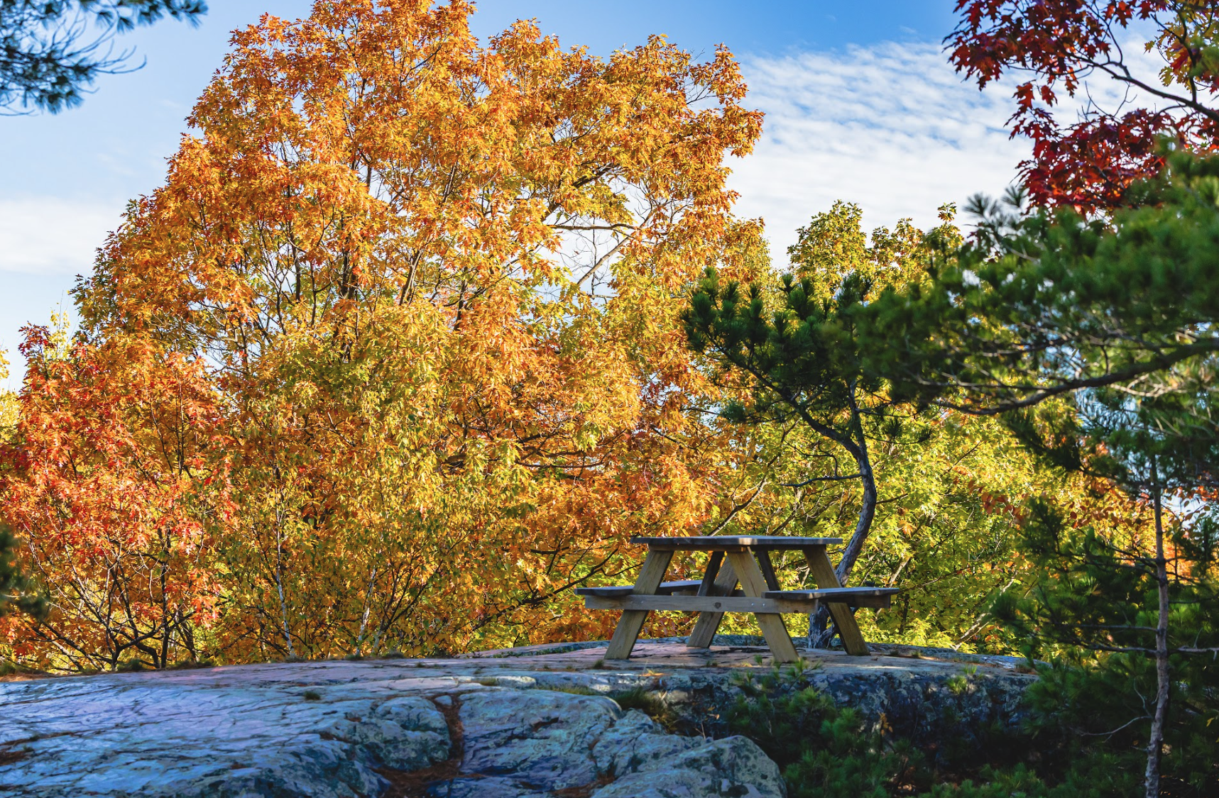
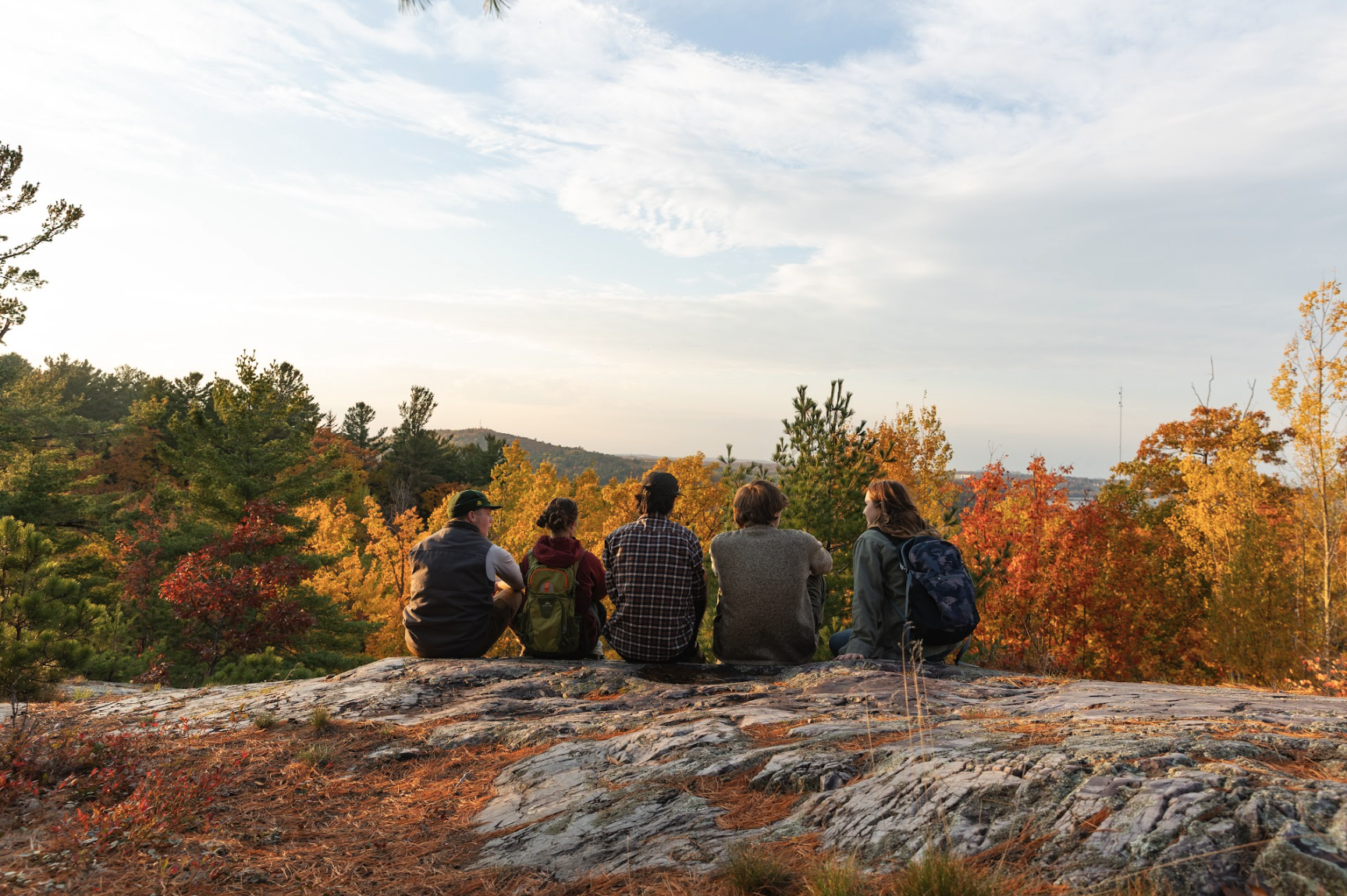
Picnic table at the top of the Back Rock Outcropping Photo: Clickism Creative
Start Here
Not sure where to begin? Start Simple:
-
The main loop road is only partially complete—but that doesn’t mean you shouldn’t explore it.
Walking the unfinished section is one of the best ways to see more of the property, including wooded areas and a pass by the eagle’s nest.
There are also a few interior trails worth checking out:
Fairy Trail (Octopus Cluster, near Site 27)
Leads to the base of the Back Rock Outcropping.Fallen Tree Trail (starts near Site 25)
Connects the Octopus Cluster to the Willow Cluster (comes out near Sites 37–38).Fern Trail (near the Superior Overlook)
A shaded, quieter walk through dense woods.
-
Across from Site 15, a marked trail leads up to the Back Rock Outcropping.
On the way up, you’ll pass exposed Kona Dolomite—the same rare rock that defines this property.
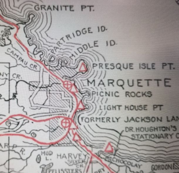
At the top, there’s a picnic table and one of the best vantage points on site. You’ll get views of Marquette, the southern Huron Mountains, and miles of surrounding forest.
-
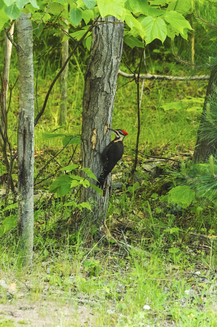
There’s an active eagle’s nest on the property.
If you’re paying attention, you might catch them soaring overhead or returning to the nest.
Give them space and keep your distance—this is their home first.
-
There’s more here than what’s at eye level.
Watch your footing and you’ll start to notice the details—rock formations, textures, and small features that make this land what it is.
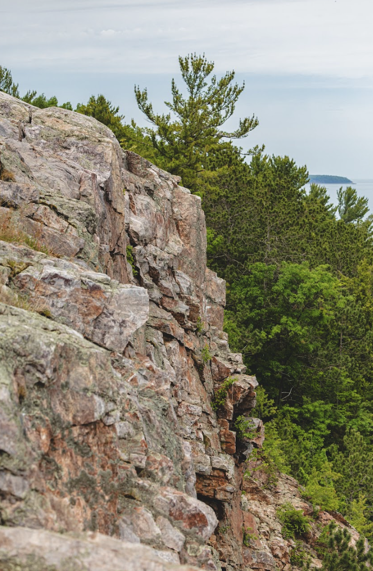
Kona Dolomite is everywhere underfoot. It’s rare, it’s local, and it’s part of what makes this place different.
Explore Kona Dolomite Ancient Rock Formations
You're standing on something rare.
Kona Hills sits on Kona Dolomite, a unique rock formation only found in Marquette County. It’s what gives this land its color, texture, and structure.
It’s also where we get our name and branding!
You’ll see it in the outcrops, under your feet, and built into the terrain of many campsites.
You don’t need to understand the geology to appreciate it. Just pay attention, you’ll start noticing it everywhere.
Please note, per Kona Hills Rules and Policies there is no carving into any rocks on the property. Additionally, please do not remove or take any rocks from the property.
Eagle and Wildlife Watching
This is their space first.
There’s a protected eagle’s nest on the property through a conservation easement with the Lake Superior Watershed Partnership, part of our commitment to preserving what’s already here.
If you’re paying attention, you might catch eagles soaring overhead or returning to the nest.
You may see other wildlife too—porcupines, skunks, and even bears.
Give animals space. Don’t approach or feed anything.
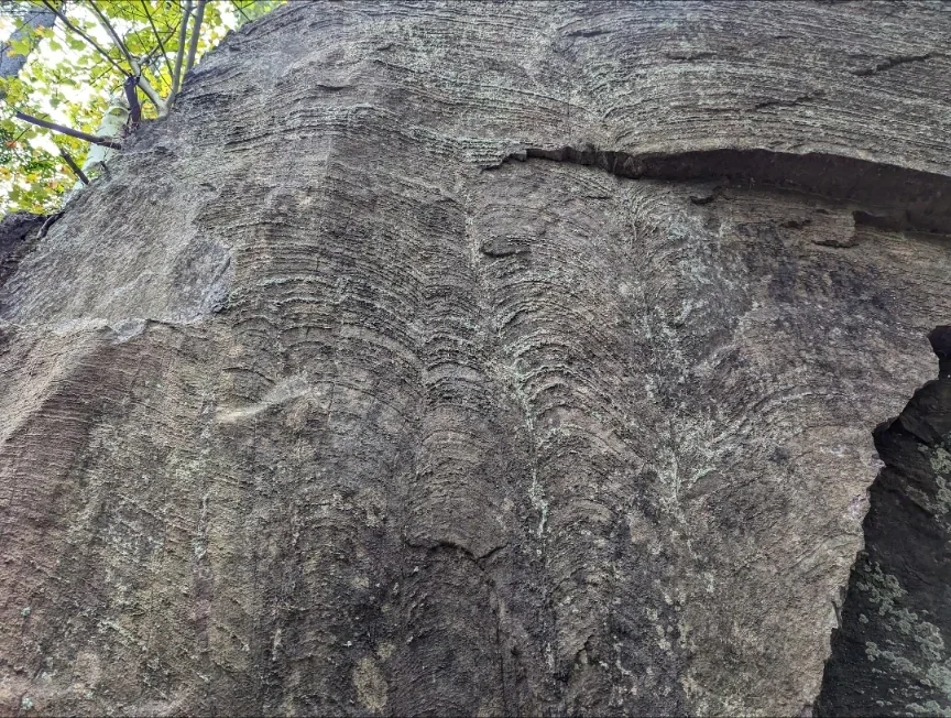
Stromatolite Fossil Search
This area holds evidence of some of the earliest life on Earth, including stromatolites (fossilized microbial formations).
There are known fossil areas on the property, but no formal trails leading to them. If you choose to explore, be mindful of the terrain and your surroundings.
We’ve marked general locations on Google Maps for those who want to navigate that way.
Take your time. Pay attention. You don’t have to go far to find something.
Please note, per Kona Hills Rules and Policies there is no carving into any rocks on the property. Additionally, please do not remove or take any rocks from the property.
Look closer, you’re walking through history.
Learn the Land and Historical Exploration
This land has been shaped over time.
This land has been shaped over time, by geology, logging, and everything that came before Kona Hills.
What you’re seeing now is part of an ongoing process. We’re building and restoring this place intentionally, not all at once.
Discover the rich history of Marquette from Native American history to European exploration. The Kona Hills area holds significance throughout time. Learn about the area’s noteworthiness and the diverse cultures that have shaped it over the years. We plan to add place-revealing signage and self-guided tours in the future.
Before you Explore
Kona Hills is meant to be experienced, not rushed
Walk or bike more than you drive
Early mornings and evenings are best for wildlife
Bring a flashlight or headlamp at night
Stay on established paths (this land is rugged for a reason)
Respect the land while you’re here
Leave everything as you found it
Don’t move rocks or disturb natural features
Pack out what you bring in
Keep noise low, this place is meant to be quiet
Camping for people who want to camp.
No crowds. No distractions. Just space to explore.
Explore Beyond Kona Hills
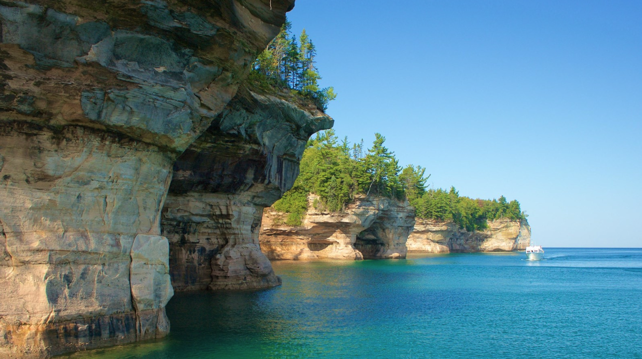
Pictured Rocks Cliffs. Photo: National Parks Service
Kona Hills is just the starting point.
Minutes from here, you’ll find some of the best hiking, biking, climbing, and Lake Superior shoreline in the Upper Peninsula.